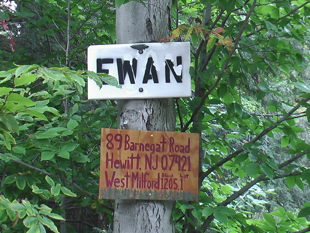
Land sold: 89 Barnegat Road, West Milford (Hewitt), NJ 07421
Land gently slopes down northwest for the potential of one-side above grade living space or garage and upper level decking looking out into Wawayanda State Park forest. Close to area shopping and easy access to George Washington Bridge. Study the following worthwhile prospectus and reimagine your new home.
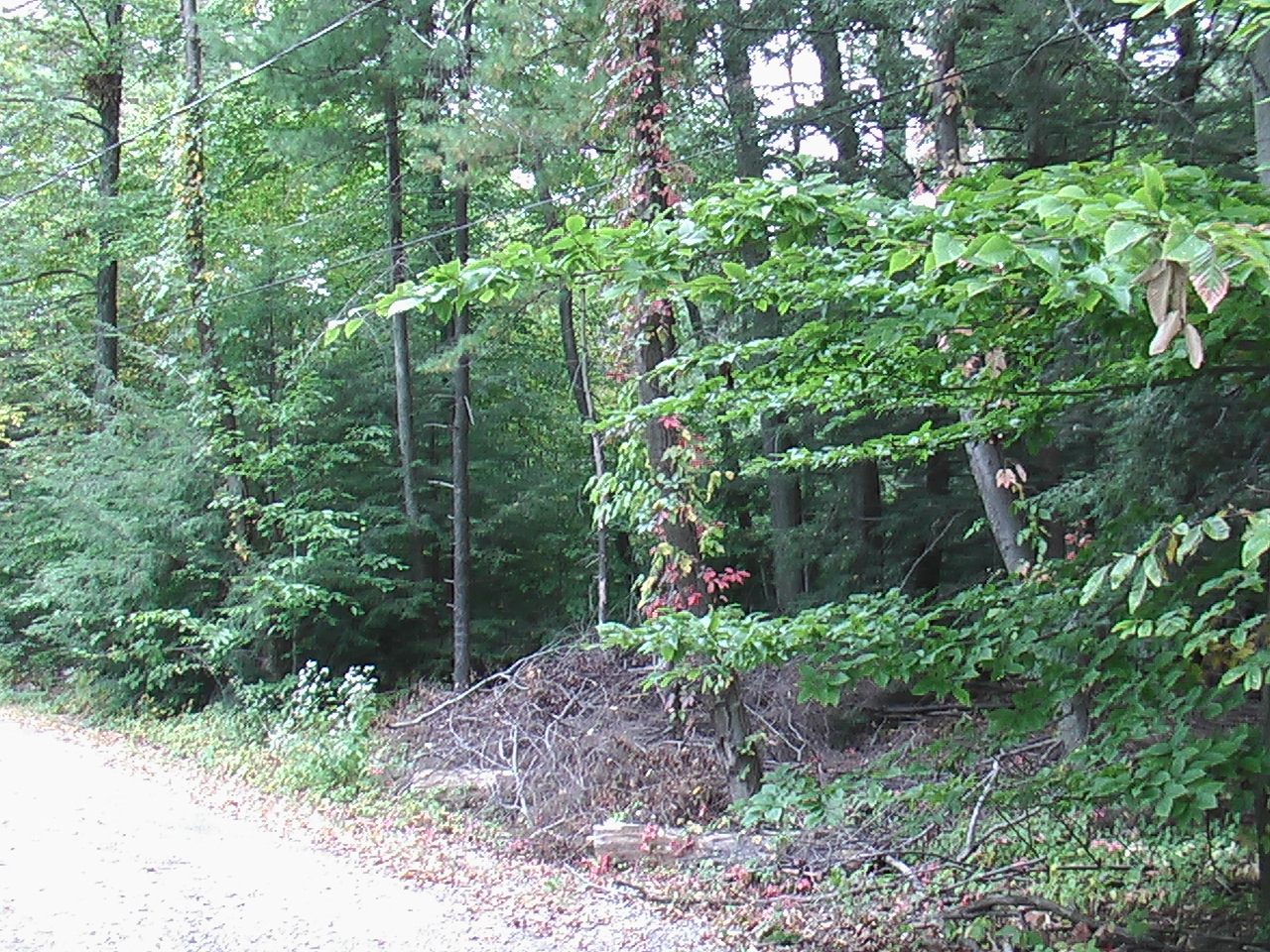
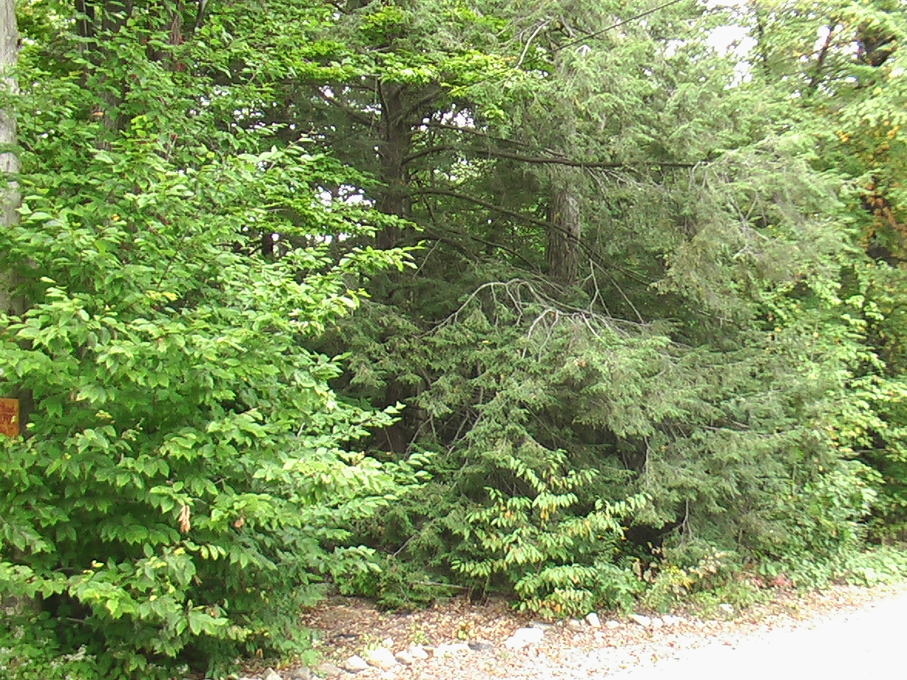
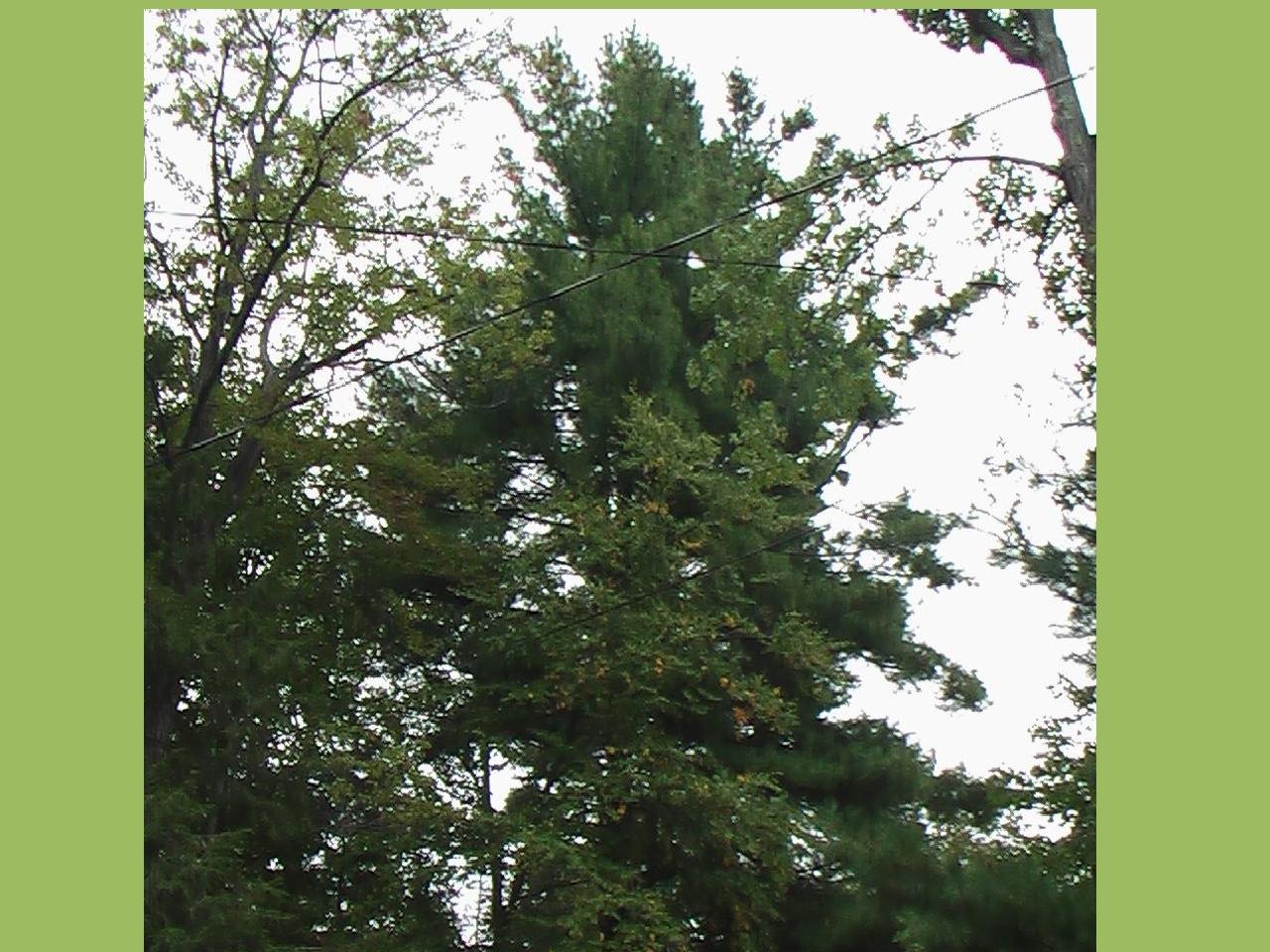
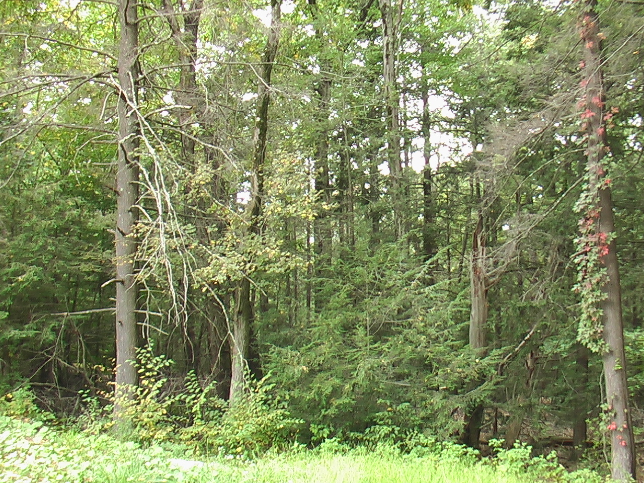
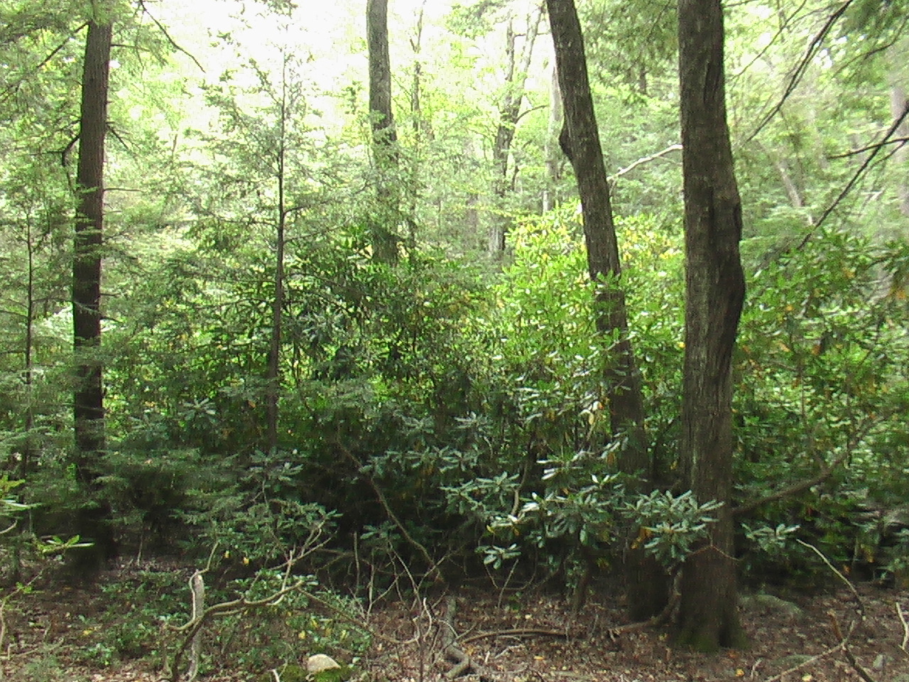
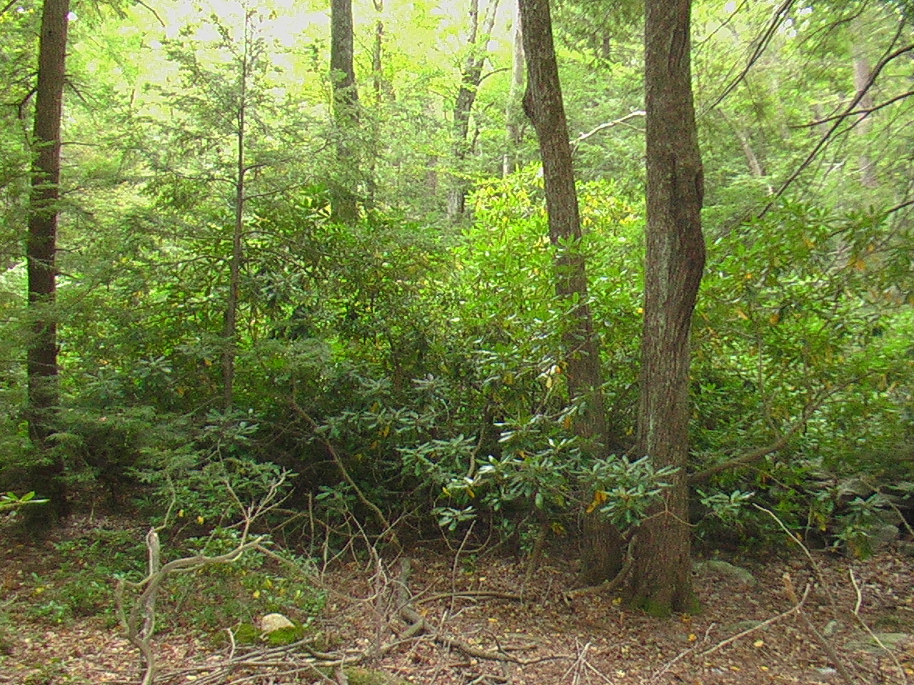
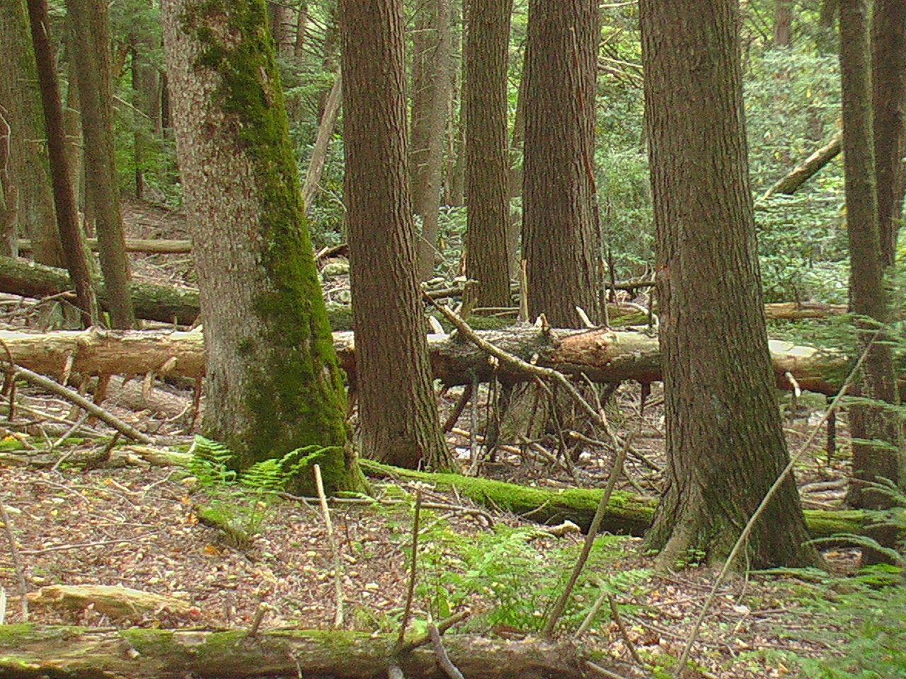
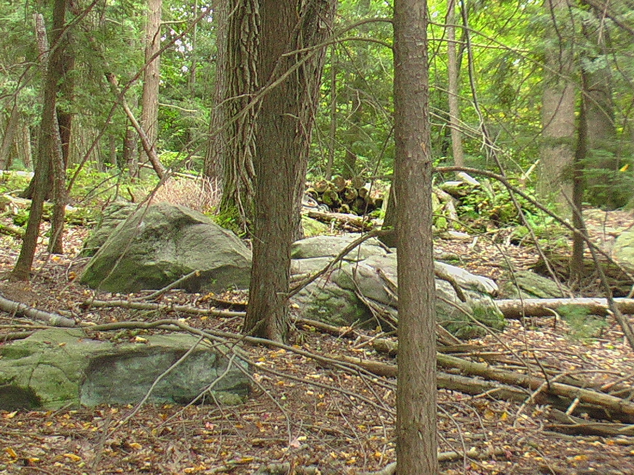
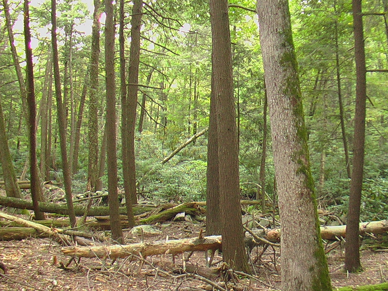
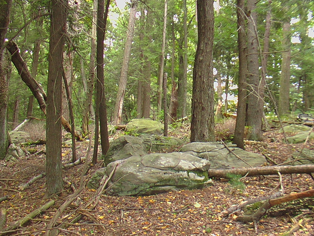
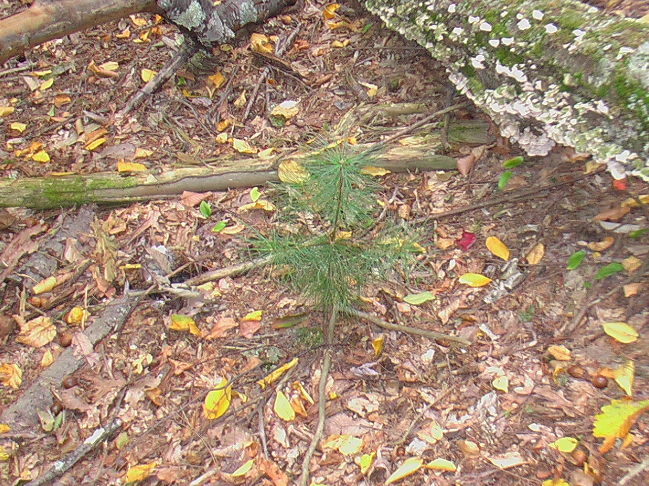
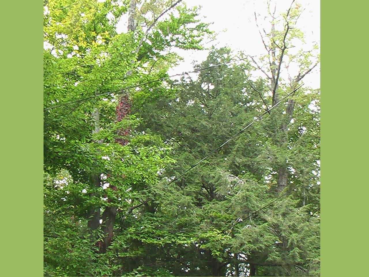
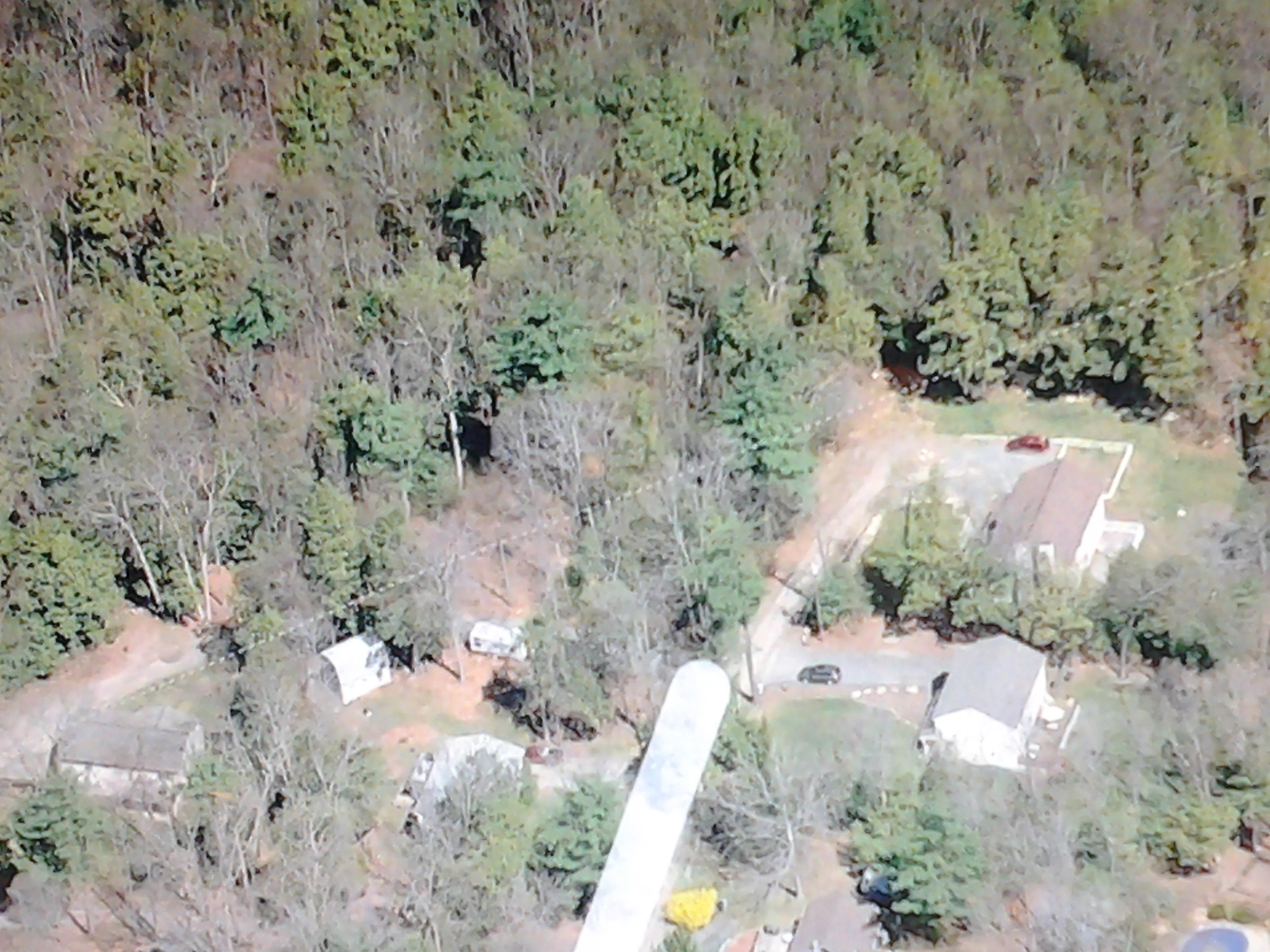
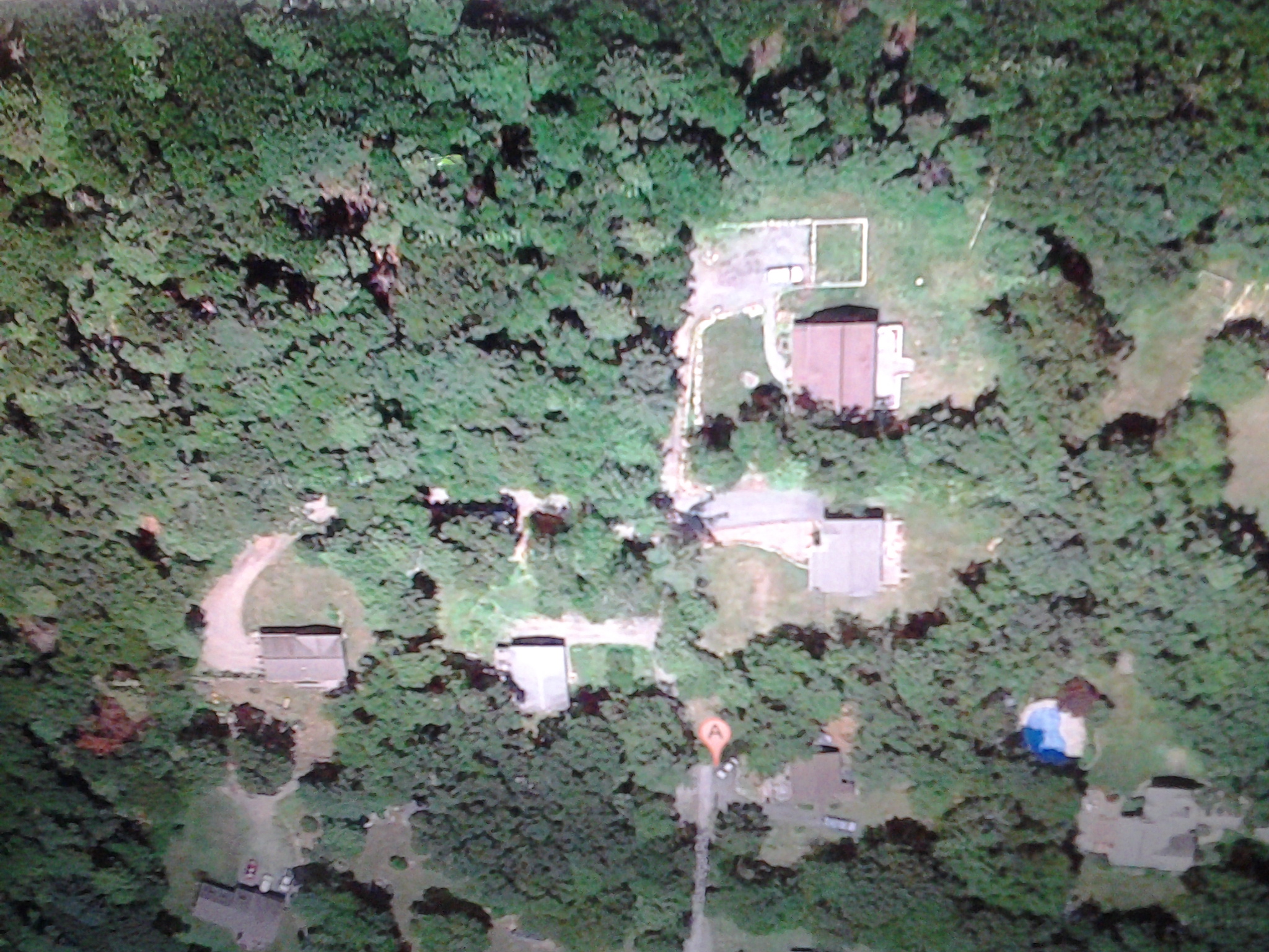
1. Southeast corner of the property, Barnegat Rd (east border) and Ewan Court (south border).2. Ewan Court, looking northwest, general location for proposed septic field is on the right.3. Ewan Court, looking northeast.4. Interior, tall evergreen trees.5. Southwest corner of Ewan Court (south border) and Ancora Rd (west border).6. Ancora Rd, looking west, west border.7. Ancora Rd, looking west, west border, more large rhododendrons.8. Interior, looking north, native ferns.9. Interior, looking south, large boulders, start of lower topography.10. Interior, looking south, land slopes towards northwest section.11. Interior, looking north, lower topography northwest section.12. Interior, looking north, lower topography, northwest section native boulders.13. Interior, lower topography northwest section, evergreen sapling.14. Northwest corner of Ancora Rd (west border) and land owned by NJ Department of Environmental Protection (north border), dry stacked stone walls along the west and north borders.15. Northeast corner of Barnegat Rd (east border) and land owned by NJ Department of Environmental Protection (north border), looking northwest, east border.16. satellite view of area surrounding land shown upper-left area.17. satellite view of area surrounding land shown upper-left area.
Approximately a 1-acre parcel of unimproved land, which is located within the area known as West Milford (Hewitt), west of Upper Greenwood Lake, Passaic County. This rare and secluded property includes evergreens such as pine trees and large rhododendrons, and dry stacked rock walls.
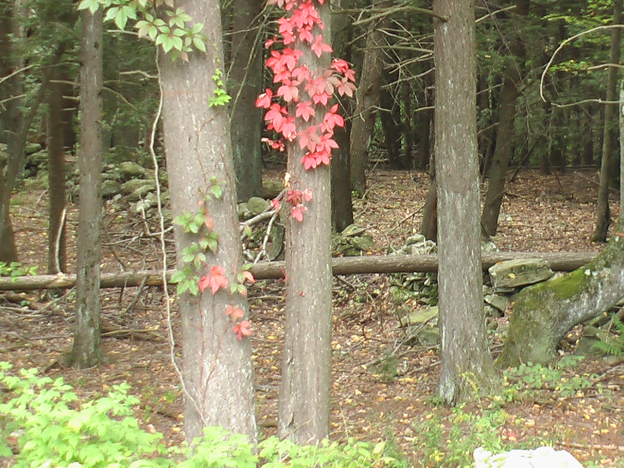
Nearby Attractions
West of Ancora Road, which is the west side of the property, is Wawayanda State Park. In addition, other nearby forests are Abram S Hewitt State Forest, Sterling Forest, and Ringwood Manor State Park. Nearby lakes are Highland, Wawayanda, Upper Greenwood, Greenwood, Green Turtle, Pinecliff, Echo and many other smaller lakes.
Legal Description
Deed and Title Insurance Policy use the original legal description, which is the Second Map of Upper Greenwood Lake, numbers 2320 through 2325, file number 942 and dated 7/18/1932.
Dimensions
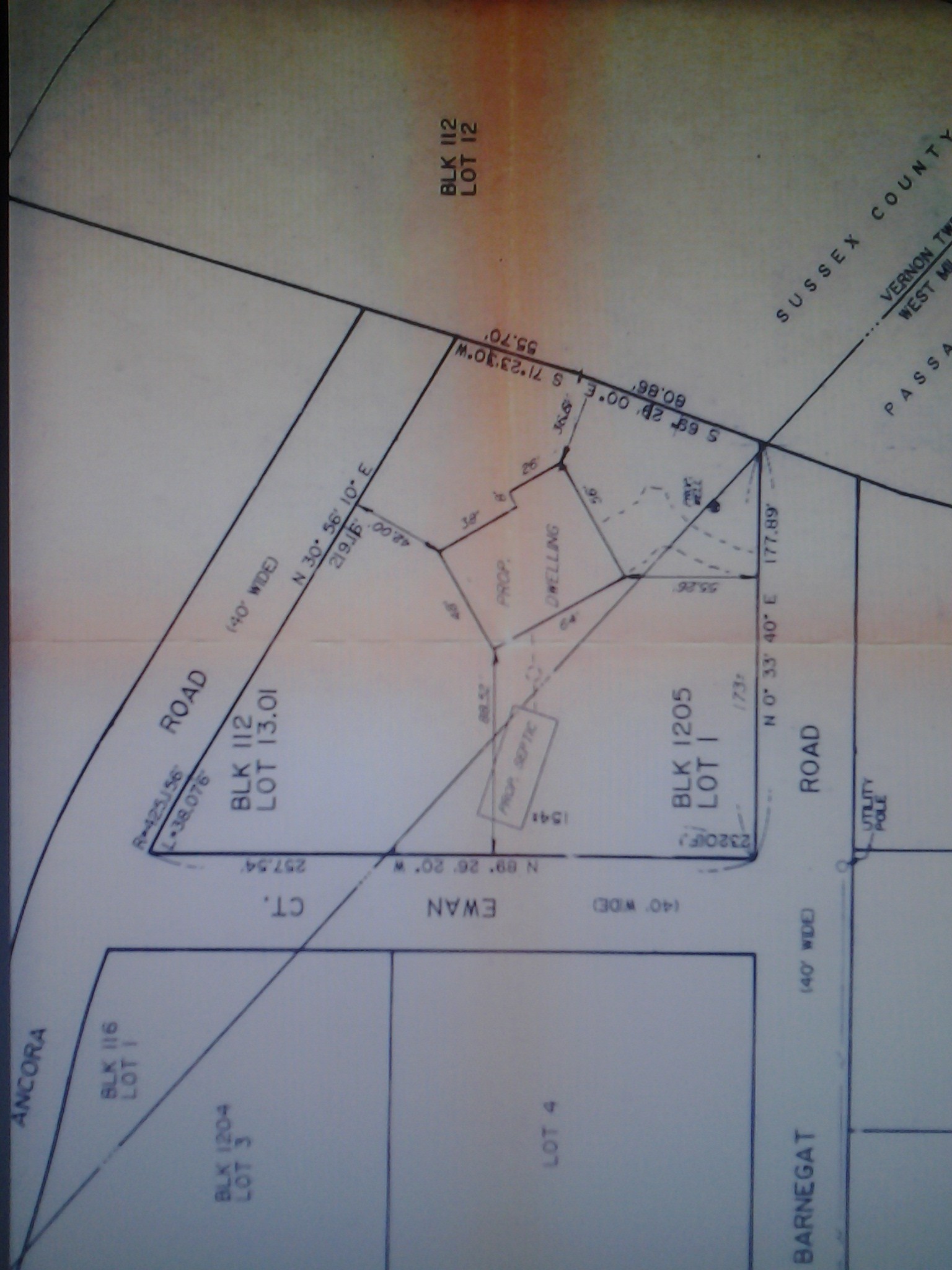
Gerard C. Henry, Inc. completed the staked survey. As you start at the southeast corner of Barnegat and Ewan, the border lengths are:
walk west on Ewan to the southwest corner is 257.54 feet
walk north to northwest corner is 219.16 feet
walk east to northeast corner is 136.56 feet
walk south to the southeast corner is 177.89 feet
Land is 40,424.55 square feet.
Land Boundaries
Description of the boundaries for this land:
North is unimproved land owned by the State of New Jersey Department of Environmental Protection.
East is Barnegat Road improved with gravel and a dead end, and making a right enters a private driveway.
South is Ewan Court, a gravel road that leads into Ancora Road.
West is Ancora Road, and only appears on a survey (paper road) and a dead end.
The State of New Jersey Department of Environmental Protection owns approximately 250 feet of vacant land from the north boundary line, and dead ends Barnegat and Ancora.
Show location input 89 Barnegat Road, New Jersey 07421, USA
Move the red tag (black dot in middle) to land, which is left of the last property on the right
Move the mouse clockwise beginning at the corner of Ewan and Barnegat, move west until Ewan curves into a driveway, move north until your mouse is horizontal with the mow line (grass) for property on the right side of Barnegat, and finally move south along Barnegat back to the corner of Ewan and Barnegat
use your mouse anywhere within that area for elevation
1 meter = 3.2808399 feet
As you travel from southeast corner to the northwest corner: 359 meters (1,177 ft) to 357 meters (1171 ft)
Previous Owner's Due Diligence
The following information, applications and documentation support the feasibility study, which concludes a planned construction project is most likely to be practical and successful, and is not a guarantee for the completion of a new dwelling.
Topography
At the southeast corner and walking northwest, the land gently slopes into a beautiful and lush forest of tall evergreen and deciduous trees, and as you reach the outer edges of the property line, there are large rhododendrons and dry stacked stone walls.
Electrical pole is installed on the east side property boundary.
There are no underground gas lines. State of New Jersey Department of Community Affairs regulates Liquefied Petroleum Gas Safety for the installation of a propane gas tank.
Individual dwelling built with three bedrooms for yearly use.
The test results support successful percolation rates for obtaining
a viable sewage disposal system permit although county requires an updated percolation test.
Summary of Sewer System Design:
Septic Tank
Grease Trap
Liquid Capacity: 1000 gallons
Material: Concrete
Disposal Bed
Width: 16 feet
Length: 26 feet
Area Sq Ft: 416
Sewer Design is based on a percolation rate of 7 minutes per inch at 3 feet below the surface:
Hole
1
2
Time in minutes per inch
7
7
No. of tests to determine saturation
3
3
Depth below surface in feet
3
7
Depth and Type of soil encountered in inches
8 topsoil, 8 to 36 orange sandy loam
14 topsoil, 14 to 40 sandy loam, 40 to 84 sand, rock gravel
Variance Application to Zoning Board of Adjustments
This property existed prior to the current zoning of R-2 and complies with the zoning requirements for R-20, which is a minimum 20,000 square feet of land. In addition, the minimum gross building area is 1,250 square feet, and cannot exceed 15% of the total lot square footage of 40,424.55, which is 6,063 sq ft. Schedule of Limitations.
This property conforms to the zoning requirements for R-20. A private road leads to the property; therefore, a Private Road Variance Application was submitted and approved by the Board of Adjustment of the Township of West Milford on March 27, 1990.
Highlands Water Protection and Planning Act
The New Jersey Highlands Region is an over 800,000 acre region covering over 1,250 square miles and 88 municipalities in seven counties (Bergen, Hunterdon, Morris, Passaic, Somerset, Sussex and Warren). The Highlands Region is an essential source of drinking water for half of the residents of New Jersey.
This regulatory program, N.J.S.A. 13:20-1 et sq, protects drinking water, helps preserve dwindling open space and was signed August 10, 2004.
New Jersey Department of Environmental Protection (DEP) ArcGIS Online platform is NJ-GeoWeb, and documents property is not in a wetlands areas. Launch GeoWeb bar, a new browser page opens, read brief instruction, select OK and input address. Wetland areas are blue.
West Milford is located within the Highlands Preservation Area. Your review of Highlands Map is your voluntary determination that a property's location is within the Highlands Preservation Area and you do not need to apply to the Division of Watershed Management for a Highlands Applicability and Water Quality Management Plan (WQMP) Consistency Determination.
A well permit application or if the ultimate disturbance (clearing of land) is one acre or more of land or if a cumulative increase in impervious surface is one-quarter acre (10,912.5 square feet) or more is the definition of a major Highlands development and requires Highlands Preservation Area Approval (HPAA).
Highlands Regulatory Program summarizes different Applications in the Highlands Preservation Area. The list below is for the Highlands Preservation Area Approval for a proposed residential development requiring a water permit application.
You may apply directly to the Land Use Regulation Program for a Highlands Preservation Area Approval (HPAA) without first making an application for a Highlands Applicability and WQMP Consistency Determination because you have voluntary determined the property is located within the Highlands Preservation Area after your review of the Highlands Map.
Complete Highlands Resource Area Determination (HRAD) Application Checklist to determine if Highlands Resources are within the boundaries of the site. Property Elevation from southwest corner is 1177 ft to northest corner is 1171 ft and 240 ft run calculates to a 2.5% downward slope, which is less than checklist section 9.A.iii. requiring depiction if proposed slope footprint is greater than 20%.
Complete Highlands Attachment A as requested in the Highlands Resource Area Determination (HRAD) Application Checklist.
Complete Highlands Attachment B as requested in the Highlands Preservation Area Approval (HPAA) Application Checklist and Highlands Resource Area Determination (HRAD) Application Checklist.
Regulatory Fee Schedule: Highlands Resource Area Determination (HRAD) Footprint of Disturbance is $500.00 and Highlands Preservation Area Approval (HPAA) with a completed HRAD is $2,500.
The property owner benefits from this easement by granting the use of Upper Greenwood Lake privileges such as swimming, boating, and fishing. This property is listed within the chain of title. The Second Map of Upper Greenwood Lake includes this property's lot numbers 2320 through 2325, which are within the range of 1922 - 2520 inclusive, file number 942 and dated 7/18/1932.
Asking Price Appraisal
My research from 01-01-2016 to 03-01-2021 of 133 ownership transfers of class 1, vacant land reports eight (8) competitive market sales. Price per sq ft ranges from $2.95/sq ft to $3.85/sq ft.
The eight (8) competitive market sales and averaged price/sq ft are two (2) lakefront $3.76/sq ft, two (2) lake view $3.85/sq ft and four (4) no lake view $2.95/sq ft.
After making comparable adjustments, such as soil conditions, percolation, view, location including road type and distance from lake and viability for new construction, my opinion of value is $2.10/sq ft.
Unique Opportunity
due diligence concludes a viable new residential construction
unique borders surrounding a unique parcel of land
dedicated homeowners association preserving more than 50 years of Upper Greenwood Lake's history
newer development built on other smaller sized lots supports a desirable location
State of New Jersey Department of Environmental Protection owns the land north of the property's border
Opinion for this land is a viable development for a new one-family residential dwelling after studying the information and documentation as presented above.
Judges the information and documentation as reliable and as understood by previous owner, and is not a guarantee against any risk for this real estate.
Does not and cannot warrant the performance or results the buyer may obtain by employing a disinterested third party during the buyer's due diligence period. Therefore, previous owner will not reimburse any fees paid by the buyer that concern the buyer's due diligence.
Sale excluded any perceived and contested faults by the buyer after the closing, if any. A law applicable to the buyer's jurisdiction may not be excluded except to the extent of any condition, guarantee, representation, term or warranty written within a Contract for Sale.
Makes no condition, guarantee, representation, term or warranty, which is either implied or stated whether by common law, custom, statute, usage or otherwise, concerning any matter or problem such as acceptable quality, integration, satisfactory function, future development, any marketable objective or non-infringement of third party legal rights, without limitation.
Buyer needs to develop a good working relationship with a reputable general contractor, who has knowledge of federal, state and local ordinances.